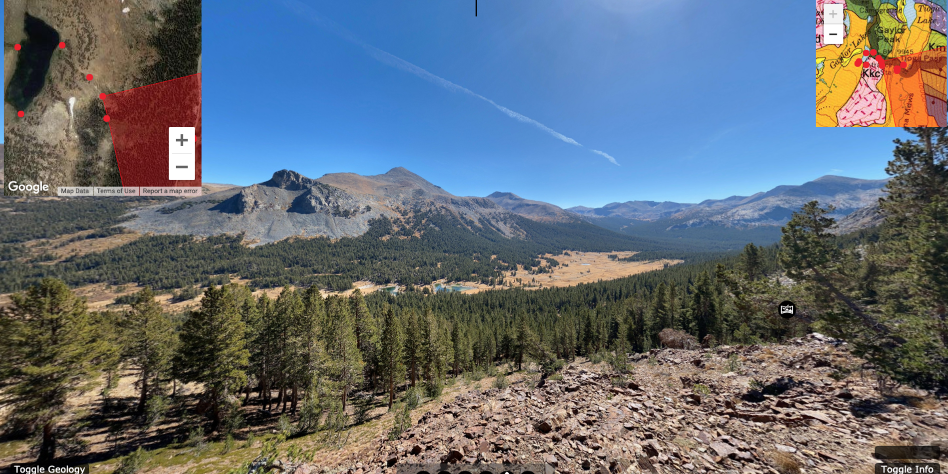
Virtual Field Trips (VFTs) take a variety of forms based on the goals of particular courses and the teaching style of instructors. Here at Stanford Doerr School of Sustainability Field Education, we are producing VFT resources that can be flexibly used in a variety of different ways. We distinguish between virtual field sites, self-guided virtual field trips, and virtual field exercises.
Although these virtual resources were jump-started to address the current needs for online learning, these resources will also be useful situations in which in-person field trips may not possible. They can also be used to augment in-person field experiences, provide better accessibility and improve inclusivity. They prepare students, making trips more efficient, safe, and effective.
These are all in progress, with more features, trips, and topical resources being added regularly. Please contact Ryan Petterson with feedback and suggestions. For Stanford University instructors, if you are interested in collaborations, creating new VFTs for your own local area, or would like to talk about ways of incorporating this content in your teaching, please reach out as well.

Marloes Sands, Pembrokeshire, UK
Silurian sediments and intercalated volcanic units on the Pembrokeshire coast, UK. This tour provides examples of variable depositional environments, and unconformable contacts between and within volcanic and sedimentary units, in subvertical strata.
Possible topics: sedimentary rocks, igneous rocks, deformation structures, depositional environments
Collaboration with Dr. Katy Chamberlain, University of Derby

Death Valley, CA
Open Death Valley Virtual Field Set
Chalfant Quarry - CA
A pumice quarry north of Bishop, CA. Part of a series on the Bishop Tuff. This is STOP 13, in the USGS Geologic field-trip guide to Long Valley Caldera, California.

Chalk Bluff - CA
A small site on on the edge of Pleasant Valley, near Bishop, CA. Part of a series on the Bishop Tuff. This is part of STOP 14, in the USGS Geologic field-trip guide to Long Valley Caldera, California.

May Lake (Yosemite NP)
A short hike to a classic Sierra lake. Offers striking views of the glaciated peaks of the Yosemite National Park, as well as metamorphosed sediments that were likely transported from the Mojave!
Possible topics: lodgepole pine forests, glaciation, granite batholiths, metamorphism, xenoliths, tectonics

Horseshoe Lake
This short VFT takes you to an area near Mammoth Mountain, CA where CO2 seeping into the soil due to subsurface magma has killed a large area of trees. For more details see the USGS Long Valley Caldera Field Guide - Horseshoe Lake.

Long Valley Caldera
An iconic location in the Eastern Sierra region of California. This VFS covers a large area in and around the Long Valley Caldera, with specific stops for the Bishop Tuff and several post-caldera eruptions. Field guides and other information about the geology can be found at USGS - Long Valley Caldera.
A Field-trip guide to Long Valley Caldera is also available as a PDF for free from USGS.
Possible topics: volcanism, regional tectonics, Bishop Tuff, Mammoth Mountain

Heritage Grove, Sam McDonald County Park, CA

Stanford Dish
This Stanford Dish VFT is part of a collaboration for GEOLSCI 42: Moving and Shaking in the Bay Area. This VFT includes videos and other content specific to that course. Its a good example of how these VFT can be tailored to more specific needs.
The Dish at Stanford is generally open to the public for personal visits. Please be sure to check https://dish.stanford.edu/ for up to date times and restrictions. Any off-trail activity or educational tours must be authorized and approved prior to the activity (application here).
Credits: C. Baden, G. Hilley, R. Petterson, A. Steelquist


